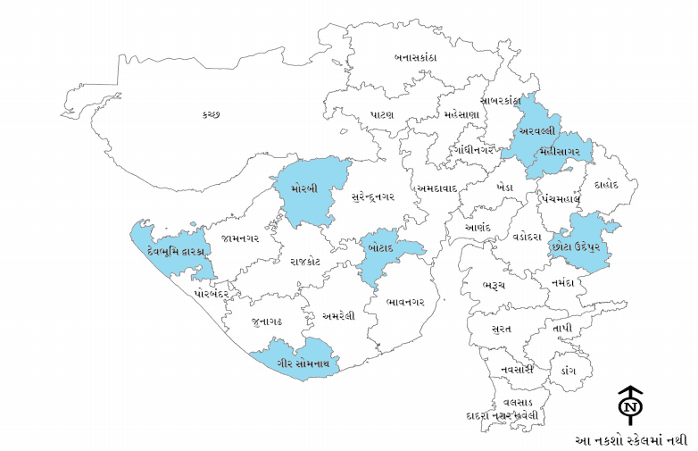
Here are the maps of Khambhalia taluka, Devbhumi Dwarka, Gujarat and India. With this map you have given illustrated information of taluka, district, state and India. Some blank maps are also given to ensure that the kids are made available to the map. These maps provide information for various crops, rains, industries, roads, etc.Maps of India is the largest resource of maps on India. This site provides all types of India map - Outline maps, Physical maps, Political maps, Reference maps and India news maps - along with a large number of utility tools and informative write-ups A map is a symbolic depiction emphasizing relationships between elements of some space, such as objects, regions, or themes. Many maps are static, fixed to paper or some other durable medium, while others are dynamic or interactive. Although most commonly used to depict geography, maps may represent any spaceयहां खंभातिया तालुका, देवभूमि दुक्रका, गुजरात और भारत के नक्शे हैं। इस नक्शे के साथ आपने तालुका, जिला, राज्य और भारत की सचित्र जानकारी दी है। कुछ रिक्त नक्शे भी यह सुनिश्चित करने के लिए दिए गए हैं कि बच्चों को नक्शे पर उपलब्ध कराया गया है। ये नक्शे विभिन्न फसलों, बारिश, उद्योगों, सड़कों आदि के लिए जानकारी प्रदान करते हैं।
Khambaliya Taluka All Village map


Khambaliya Taluka All Village map
Map of Devbhoomi Dwaraka
India and its nuture and other infomation in map
Gujarat and all district information

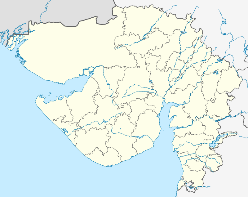
Blank map gujarat and india


ટિપ્પણીઓ નથી:
ટિપ્પણી પોસ્ટ કરો
thank you for comment